
 Approximate driving time with sightseeing
 Highest point
 Lowest point
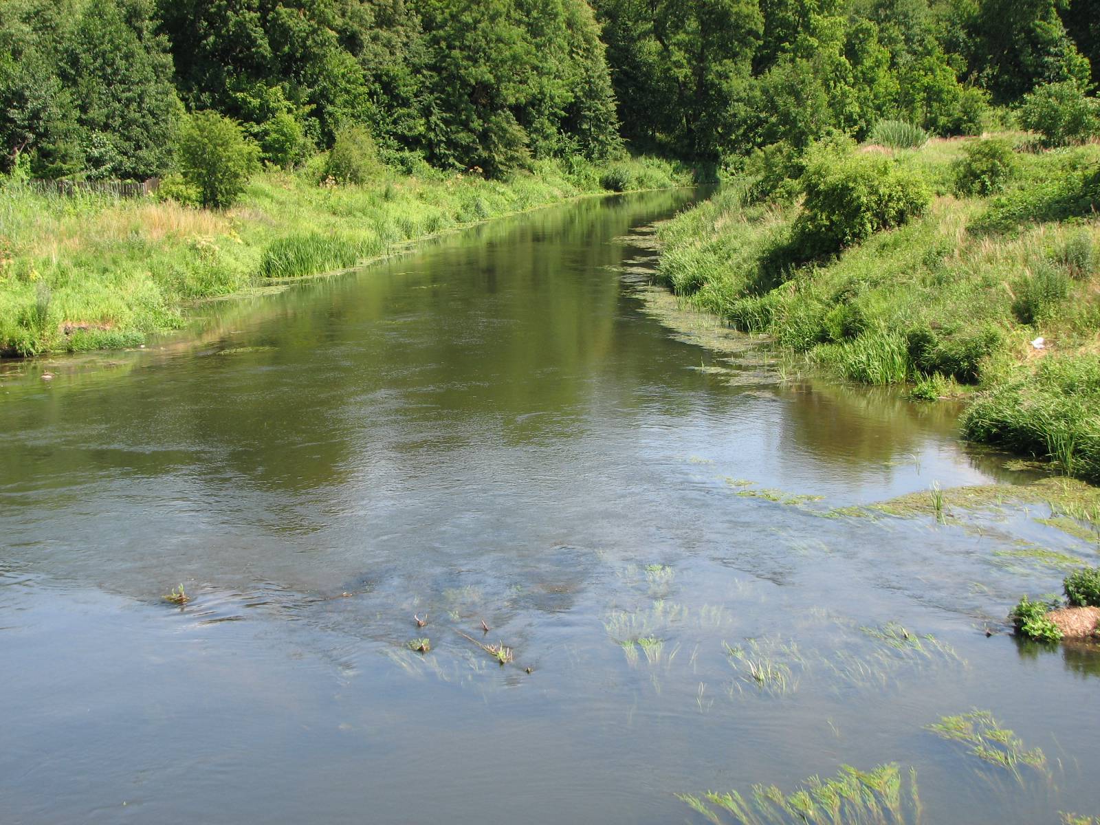
The trip starts in Bartoszyce near the exit road towards Kętrzyn. The trail initially leads on the provincial road no. 592; then it turns left towards Witki and runs farther on local roads through Wiatrowiec. In the village, there is a stop of the railway line built in 1866 to connect the port in Königsberg with Odessa on the Black Sea. Today the line is used only by freight trains. Then the trail leads to Sępopol – a small town established by the Teutonic Order in 1331. The building of the Border Guard reminds us of the state border running nearby. In spite of the large defence potential, Sępopol’s development was hindered by its peculiar location on the bend of the Łyna at the point where it is joined by the Guber river; as a result of this, the town is almost entirely surrounded with water. In the 19th century, because of the anticipated need to build a few bridges, the main railway junction of East Prussia was established 12 km farther in Korsze. In 1945, 80% of Sępopol was destroyed. The important historic sites that have survived include the 14th century Gothic church of St. Michael the Archangel with a tower rising over the town, where a viewing terrace is available at a height of around 60 m. Inside the temple, you can see the Baroque main altar and the pulpit dating back to the 1st half of the 17th century and the tomb chapel of the Kunheim family – the owners of the palace in the nearby Judyty village. Beside the bridge on the Łyna river, a fragment of defence walls with the crest of the town has survived. Another interesting site is a secessionist water tower built in 1912, which has been used until today. The trail leads further from Sępopol through Smolanka and Turcz to Liski. Here you can come across a Trakehner horse stud established in 1740. The horse breeding tradition was revived after World War II; for many years, it was the biggest horse stud in Poland. Is it worth noting farm buildings placed around the large courtyard. Near one of its sides, there is the manor house of the administrator of the premises. The horse stud is adjoined by houses and the former school. From Liski the trail leads towards the provincial road no. 512 to Bartoszyce. The trail ends near the Gothic church of John the Baptist located on the outskirts of the town.
Surface and marking of the trail:
MARKED TRAIL
The trail runs on asphalt roads and overlaps with the green PTTK trail.
Attractions on the trail:
- Church of John the Baptist in Bartoszyce
- Fragment of defence walls in Sępopol
- Church of St. Michael the Archangel in Sępopol
- Water tower in Sępopol
- Horse stud in Liski
Course of the trail:
- 0 km – Bartoszyce
- 4 km – Witki
- 10 km – Wiatrowiec
- 5 km – Sępopol
- 5 km – Smolanka
- 21 km – Turcz
- 5 km – Liski
- 28 km – Skitno
- 5 km – Bartoszyce
Tourist Information Point in Bartoszyce
- Bohaterów Warszawy 96, 11-200 Bartoszyce, phone 89 76 29 880
pit@bartoszyce.pl, www.gci.bartoszyce.pl